Tens of thousands of students, staff, and visitors enter and exit U.S. school campuses every day. In these bustling environments, all types of incidents are possible, from medical emergencies to altercations between students to acts of violence. Critical incidents are emergency events that require administrative or even first responder intervention. Critical incident mapping provides accessible location data that enable school administrators and first responders to reduce response times. According to the National Center for Education Statistics 2021 report, certain incidents are down compared to the previous decade. These include bullying, student-to-student sexual harassment, and harassment based on sexual orientation or gender identity. In contrast, a higher percentage of schools reported cyberbullying, student verbal abuse of teachers, different forms of disrespect for teachers, and widespread disorder in the classroom. In this environment, behavioral incidents requiring administrator or first responder intervention are rising. In 2023 there were 346 recorded incidents of gun violence at public and private elementary and secondary schools; across higher education institutions, that number is 15. So far there have been 69 incidents of gun violence in 2024. That number is estimated to jump to at least 345 incidents by the end of December. Given the high probability of trauma and loss associated with these incidents, schools need a robust school safety plan to accelerate critical incident response.
What is Critical Incident Mapping?
Critical incident mapping uses images and information to create a digital map of a building and the surrounding area. By implementing digital critical incident maps, schools can prepare for emergencies and accelerate response times. Digital critical incident maps provide law enforcement and first responders with an accurate view of:
- campus and grounds
- safety assets
- IT security resources
- evacuation points
- other user-defined information
Schools use this information to improve safety planning, incident response, situational awareness, and communication during emergencies. Schools can accelerate response times and minimize trauma by creating up-to-date digital maps of their campus and making them available in real time to first responders. 
Critical Incident Mapping Legislation
Many states and school districts are beginning to understand how critical incident mapping can accelerate critical incident response times. Legislators across many states responded to the tragic May 2022 school shooting in Uvalde, Texas, by mandating that school districts implement digital incident mapping technology. Because this technology makes critical information instantly available to first responders, it can prevent tragic delays during emergencies.
Static Maps Are Ineffective
Many schools rely on non-digitized or non-editable digital maps to direct emergency personnel in emergencies. When a critical incident develops, campus personnel can’t guarantee these maps are up to date. Law enforcement and school safety experts say that many school maps are inaccurate and outdated, which slows response times. For maps to be effective, school personnel must update them on an ongoing basis.
Critical Incident Mapping Legislation: the Details
State lawmakers are beginning to mandate and fund critical incident mapping technology in schools. In Florida, lawmakers passed HB301 in July 2023. This legislation allocates $14 million in funding for Florida school safety solutions and mandates that all Florida schools purchase critical incident mapping technologies that facilitate data collection. HB301 states:
- The Florida Department of Education shall procure a vendor to produce standard emergency response mapping data for every public school building in the state.
- The vendor shall be responsible for providing the data to the applicable county and district school boards and the appropriate local, state, and federal public safety agencies for use in responding to emergencies.
- Emergency response mapping data must be provided in an electronic or digital format to assist first responders in responding to emergencies at schools.
The following similar pieces of legislation mandate digital critical incident mapping in schools and provide funding for critical incident mapping technology:
- New Jersey S2426
- Illinois Statute 128, section 50
- Indiana Secured School Safety Grant Program
- Michigan Section 97d
- Texas House Bill 3
- Virginia House Bill 741
- Maryland House Bill 0472
How Does Critical Incident Mapping Aid First Responders?
During any school emergency, every second matters. Critical incident mapping technology answers the following questions:
- What’s the problem?
- Where is it?
- Who is involved?
- What safety resources are available?
Up-to-date critical incident maps accelerate first responders’ arrival and empower them to assist students and staff the moment they arrive. According to South Carolina’s Education Superintendent Ellen Weaver, digital critical incident mapping technology “would not only make the layout of every school in the state available instantly but would also allow dispatchers to update the maps in real time—marking possible locations of suspects, students who need rescuing or other important data.”
CENTEGIX Safety Platform™ with Safety Blueprint™: Achieving Compliance
The CENTEGIX Safety Platform is a multilayered school safety solution that features critical incident mapping technology. Safety Blueprint is part of the suite of CENTEGIX solutions that accelerate response times and allow schools to comply with state and federal safety regulations. The CENTEGIX Safety Blueprint digital critical incident response map performs the following functions:
- shows the precise location of safety incidents in real time
- provides precise locations of safety assets including automatic defibrillator devices (AEDs), first aid kits, fire alarms, fire extinguishers, and other emergency equipment
- shows evacuation routes
- provides visual data about a school’s entire campus and facilities
- integrates with cameras to allow observation of critical incidents in real time
- enables schools to publish floor plan changes anytime, eliminating the time and expense of using an outside vendor
- helps schools meet and exceed legal requirements for maintaining critical incident maps
CENTEGIX Safety Blueprint puts up-to-date information directly into the hands of first responders so they can quickly and effectively intervene and provide help to everyone involved in an emergency. Chris Farkas, Hillsborough County Public Schools Chief Operations Officer said, “The minute we receive a map in an architectural drawing or PDF is the minute it is out of date! If I have to call an architect or vendor to update maps, I waste time and money. CENTEGIX’s Safety Blueprint is the best of both worlds: we can make updates in real time, and we don’t have to spend money every time we make a change, like consolidating rooms or adding a mobile classroom. The assessment management and inventory management capability is icing on the cake.” 
CENTEGIX Safety Platform: A Multilayered Safety Solution
The suite of solutions included in the CENTEGIX Safety Platform enables schools to accelerate their critical incident response and create an all-encompassing culture of safety.
- The Safety Platform’s private, managed Safety Platform network mitigates risk by not relying on Wi-Fi or cellular connectivity.
- CrisisAlert mobile panic badges empower staff to quickly and discreetly request help from administrators and first responders.
- Safety Blueprint’s critical incident map shows the precise location where help is required.
- Safety asset locations and other information relevant to first responders are updated and visible to first responders on the Safety Blueprint dynamic map.
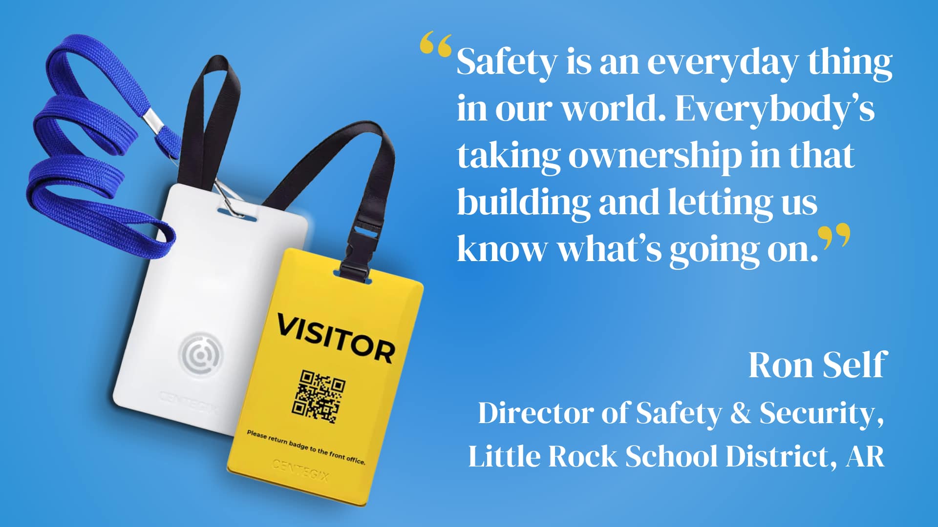
- CENTEGIX Visitor Management enables schools to monitor who is present on school property and to permit only authorized visitors.
- CENTEGIX Reunification technology allows schools to reunite staff, students, and personnel quickly in an emergency.
Schedule a demo to learn more about how CENTEGIX Safety Platform can help your campus accelerate response times, comply with critical incident mapping legislation, and create a culture of safety.